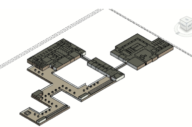
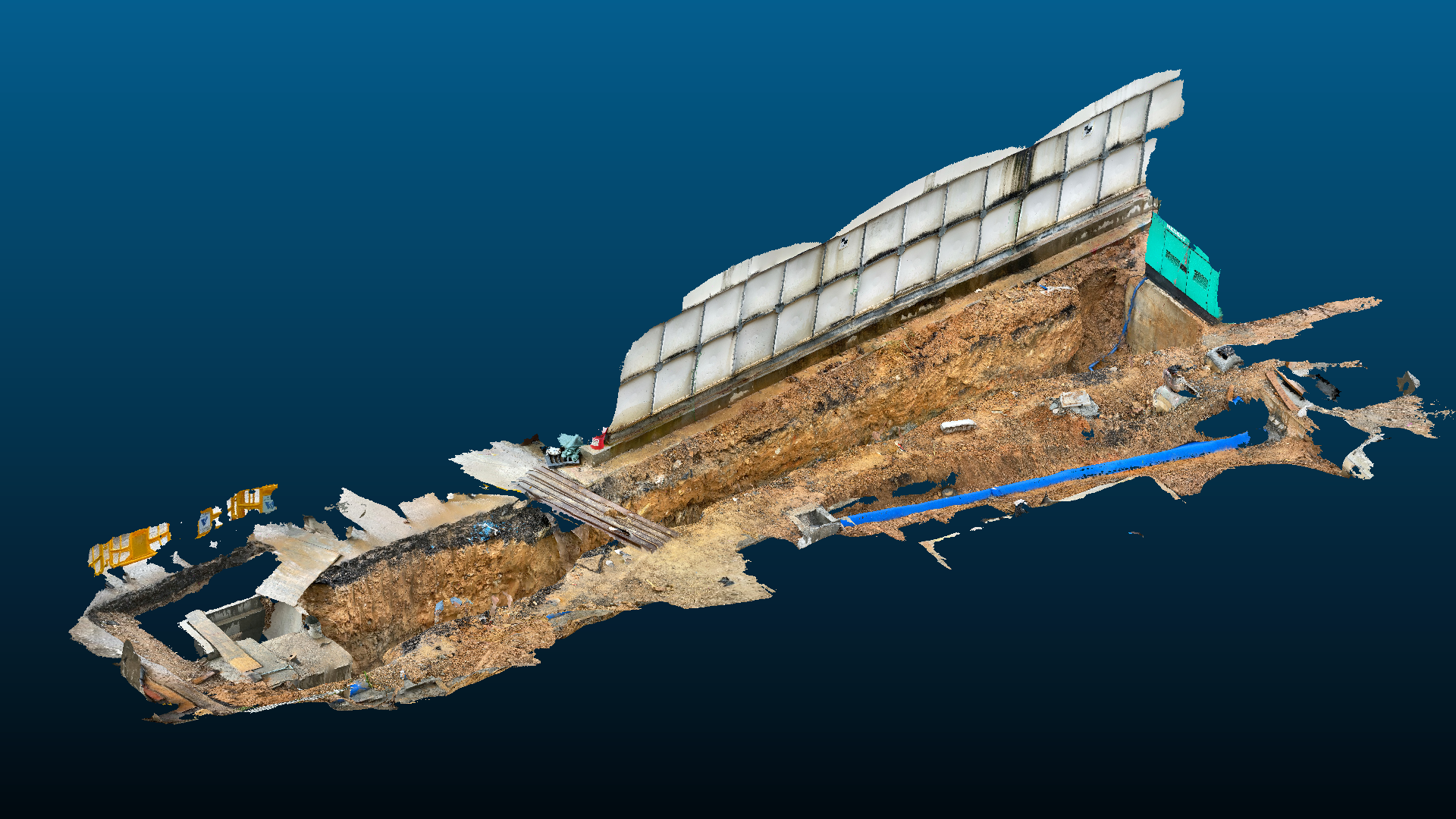
Fresh and raw water pumping station at Qingyi
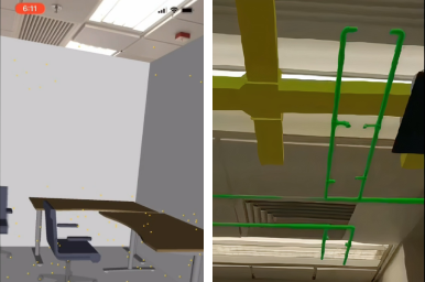
Use LiDAR sensor on iPhone12 Pro, with our algorithm, the detailed 3D model of the underground utility pipes can be generated, with geo-location tagged. The 3D model with real world geo-reference can be used for progress management, retracing of responsibility and localization and repairment of the pipes.